
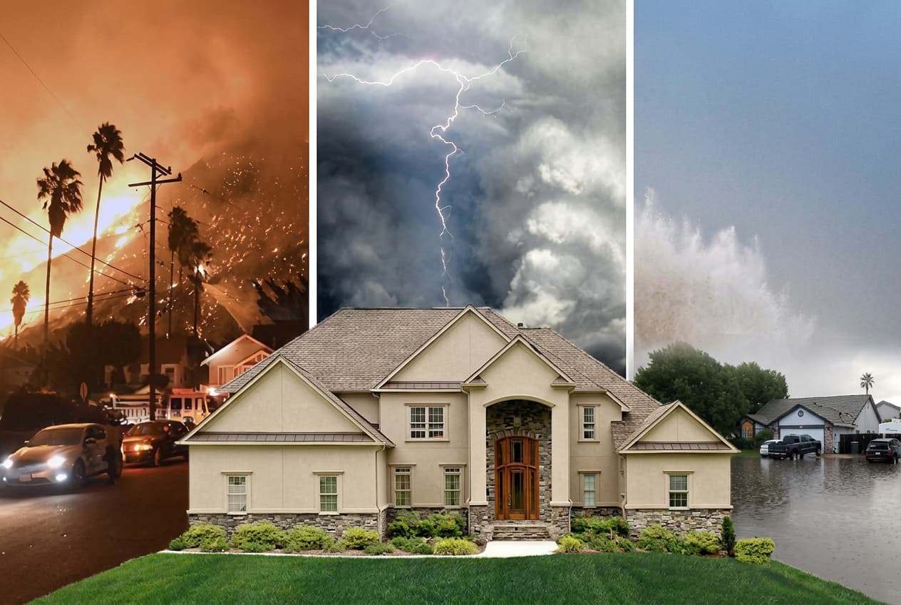
If you own a waterfront property and your FEMA flood map shows low risk, you might feel like you have nothing to worry about. That feeling could be one heavy rainstorm away from costing you everything, according to Albert Slap, founder of RiskFootprint™.
Slap, who has spent more than a decade working with property owners, lenders, and due diligence professionals on natural hazard risk, warns that FEMA flood maps do not include heavy rainfall flooding. "Wherever it rains, it can flood. That's the part most property owners never hear until it's too late," he says.
FEMA flood maps were designed to assess riverine flooding—rivers and streams overflowing their banks—and coastal surge from major storms. They do not model pluvial, or rainfall-driven, flooding. This distinction is critical for waterfront property owners. A property on a bay, canal, coastal inlet, or lake may appear low risk on a FEMA map, but that map says nothing about what happens when three inches of rain falls in two hours. Additionally, many FEMA maps are decades old and do not reflect changes in land development, drainage infrastructure, or recent intense rainfall patterns.
The consequences of misplaced confidence in FEMA flood maps were starkly illustrated during Hurricane Harvey in 2017. Approximately 150,000 homes in the Houston area flooded, and 70 percent of them were in FEMA's X Zone, designated for lower flood risk. Most of those homeowners had no flood insurance because the map suggested they did not need it. Harvey caused an estimated $125 billion in total damages, driven by rainfall, not riverine flooding.
Waterfront property faces similar exposure. The scenic water view that adds value also concentrates water rapidly when rainfall overwhelms local drainage. A complete flood assessment must go beyond FEMA maps to include rainfall-driven and other flood modeling from sources like NOAA, NASA, and local authorities. RiskFootprint™ uses flood models from Fathom and Swiss Re to assess all three flood mechanisms: riverine, coastal, and pluvial.
Flood exposure is only part of the picture; a property's vulnerability depends heavily on the first-floor elevation. A waterfront home elevated on pilings with a first floor fifteen feet off the ground faces a different risk than a ground-level slab. RiskFootprint™ uses AI and machine learning applied to Google Street View to estimate first-floor elevation across more than 300 million U.S. properties, moving from raw exposure to actual building vulnerability.
Slap offers practical guidance: Do not treat a low FEMA X Zone as a clean bill of health; it says nothing about rainfall flooding. Check whether you have flood insurance regardless of your FEMA zone—federal flood insurance through the NFIP is available to any U.S. property owner and costs far less than expected. Slap pays $700 a year for coverage on his own home, which sits outside a FEMA flood zone but has rainfall flood exposure from an adjacent golf course. Finally, get a property-level hazard assessment before buying, selling, refinancing, or renewing insurance. A complete flood risk assessment for any U.S. residential property is available for $200 at riskfootprint.com/residential-product.
RiskFootprint™ is a property resilience assessment platform providing science-driven hazard analysis across 34+ natural hazard categories. More information is available at riskfootprint.com.